")


What are environmental gradients?
Mine tailings are evidence of the exploitation of metal bodies that took place until the last century. These tailings may require remediation because they represent a significant quantity of contaminated materials that can be dispersed in the environment.
The presence of these mine tailings forms gradients related to the presence of metals in the soils, often from upstream (close to mining tunnels, strong contamination) to downstream (lesser contamination). Along these gradients, significant changes in vegetation composition are observed. In addition, along these gradients, and related to the amount of metals in the soil, other factors important for plant development may vary, such as the amount of nutrients present for plant growth, or stoniness and erosion. This part of the project focuses on characterizing the set of physical and chemical parameters of the environment that vary along these gradients.
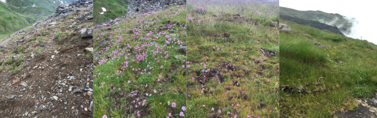
Gradient of metal presence in soils and associated vegetation change, Chichoué area. From left to right, the contamination decreases to an area not impacted by mining activity (right).
The pink flowered species is Armeria muelleri.
Objectives of this research axis:
The objective of this research axis is to characterize the environmental gradients that influence plant development, the strategies they implement to adapt to them, and ultimately the interactions between plants.
The study of environmental gradients includes the characterization of:
- the total metal and metalloid concentrations within the study areas
- The environmental availability of metals (potentially transferred from the the soil to the soil solution via physicochemical desorption processes), and the environmental bioavailability (potentially taken up by a living organism via physiological processes)
- The other soil and physical parameters: texture, organic matter, water content, nutrients
- The topography and micro-relief
- The weather conditions, which differ greatly between the study areas at low and high altitudes (1000 to 2000 m). The two main parameters monitored are temperature and humidity (air and soil).
Main researchers :
Gaël Bellenfant, BRGM, Research engineer and post-mining officer, g.bellenfant_at_brgm.fr
Valérie Laperche, BRGM, Research engineer expert in mineralogy and X-Ray Fluorescence measurements, v.laperche_at_brgm.fr
Valérie Sappin-Didier, INRAe, Research fellow, valerie.sappin-didier_at_inrae.fr
Christophe Nguyen, INRAe, Senior scientist, christophe.nguyen_at_inrae.fr
Jérémie Melleton, BRGM, Geologist and expert in gitology, j.melleton_at_brgm.fr
Main achievements:
In summer 2020, each study area was subjected to numerous measurements using a portable X-ray fluorescence spectrometer (a method for measuring the mass concentrations of chemical elements) and soil samples were taken for laboratory analysis of total element content, pedogeochemical parameters, and the environmental availability of metals.
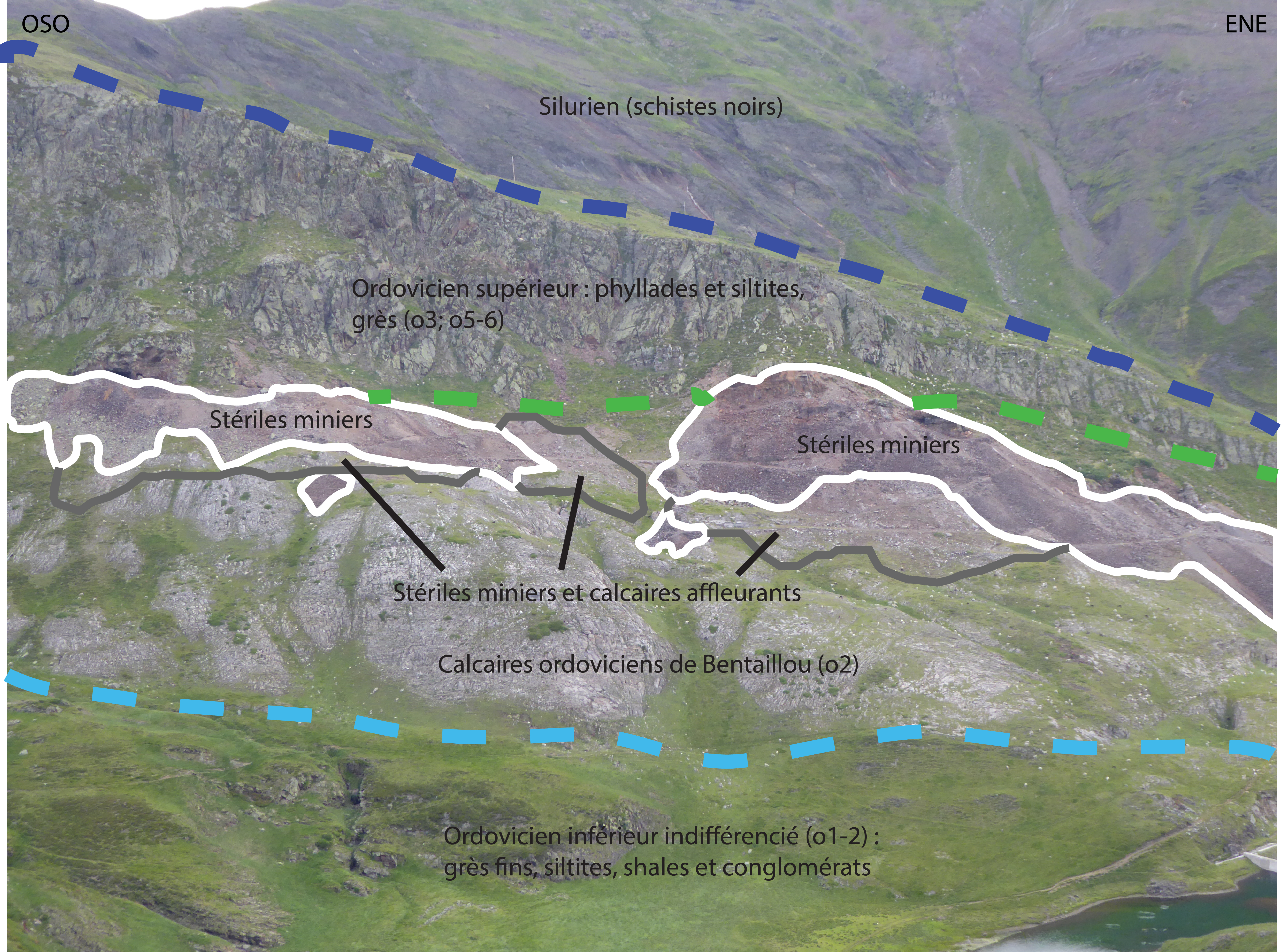
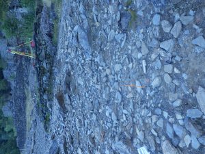
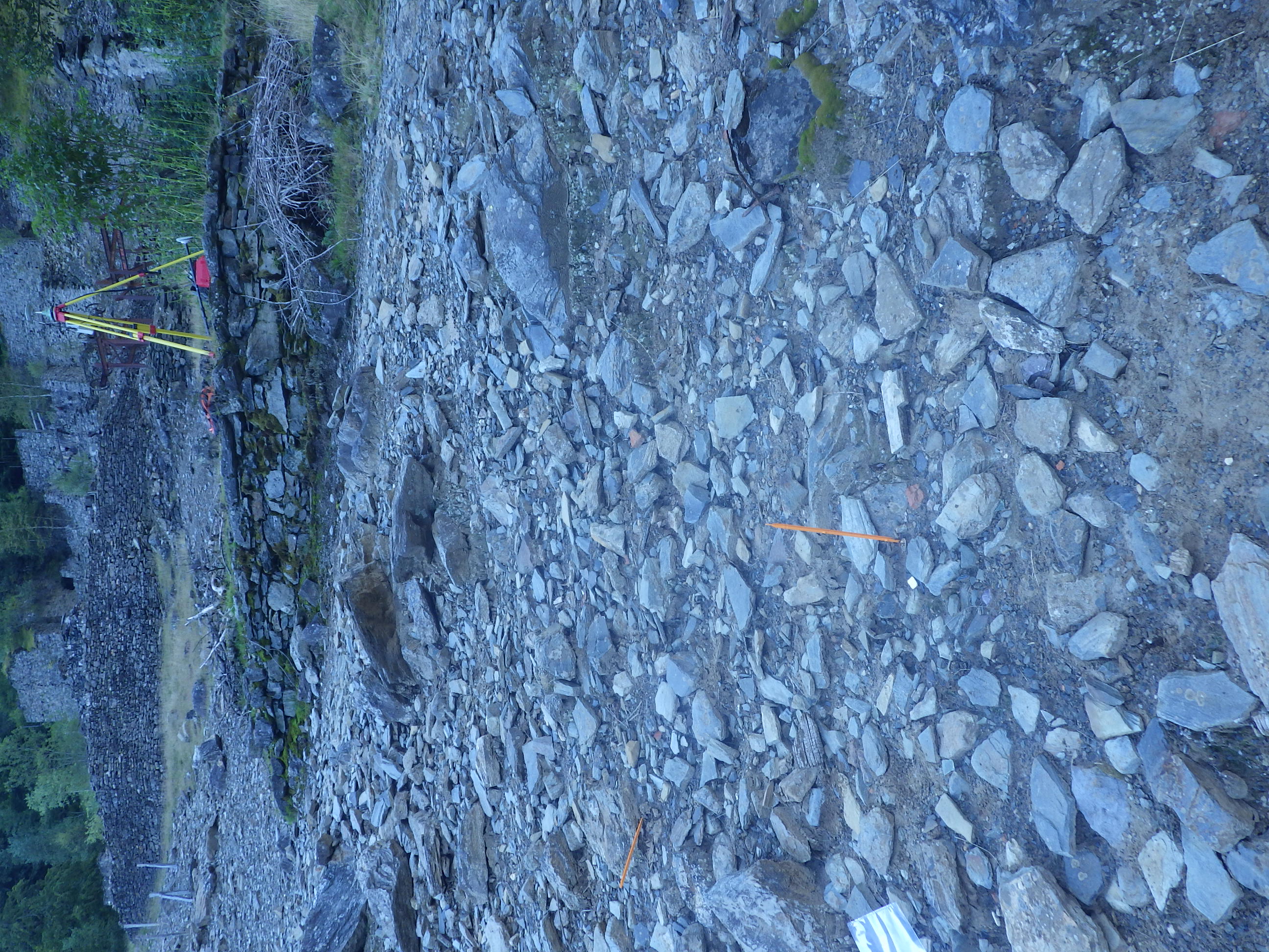
Chichoué area: Mine tailings and geological formations
(Photo : Jérémie Melleton)
A geological synthesis was also carried out in June 2020 in order to place the sites in their geological context and to help distinguish between the presence of metals related to former mining activity and spontaneous concentrations (related to natural outcrops).
-
- Installation of permanent markers on the ground to identify points (Photo: Pascal Auger)
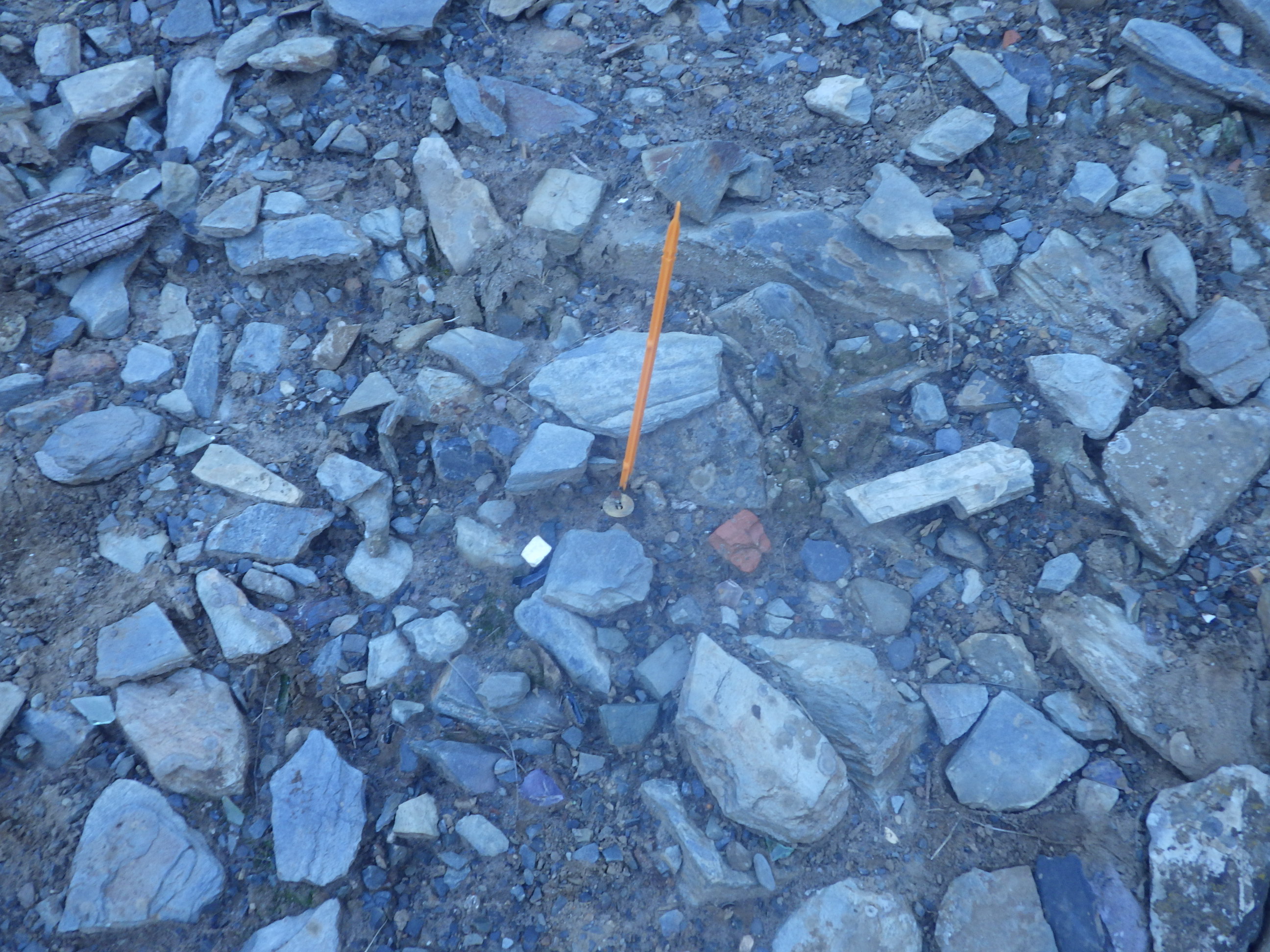
-
- Installation of permanent markers on the ground to identify points (Photo: Pascal Auger)
-
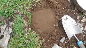
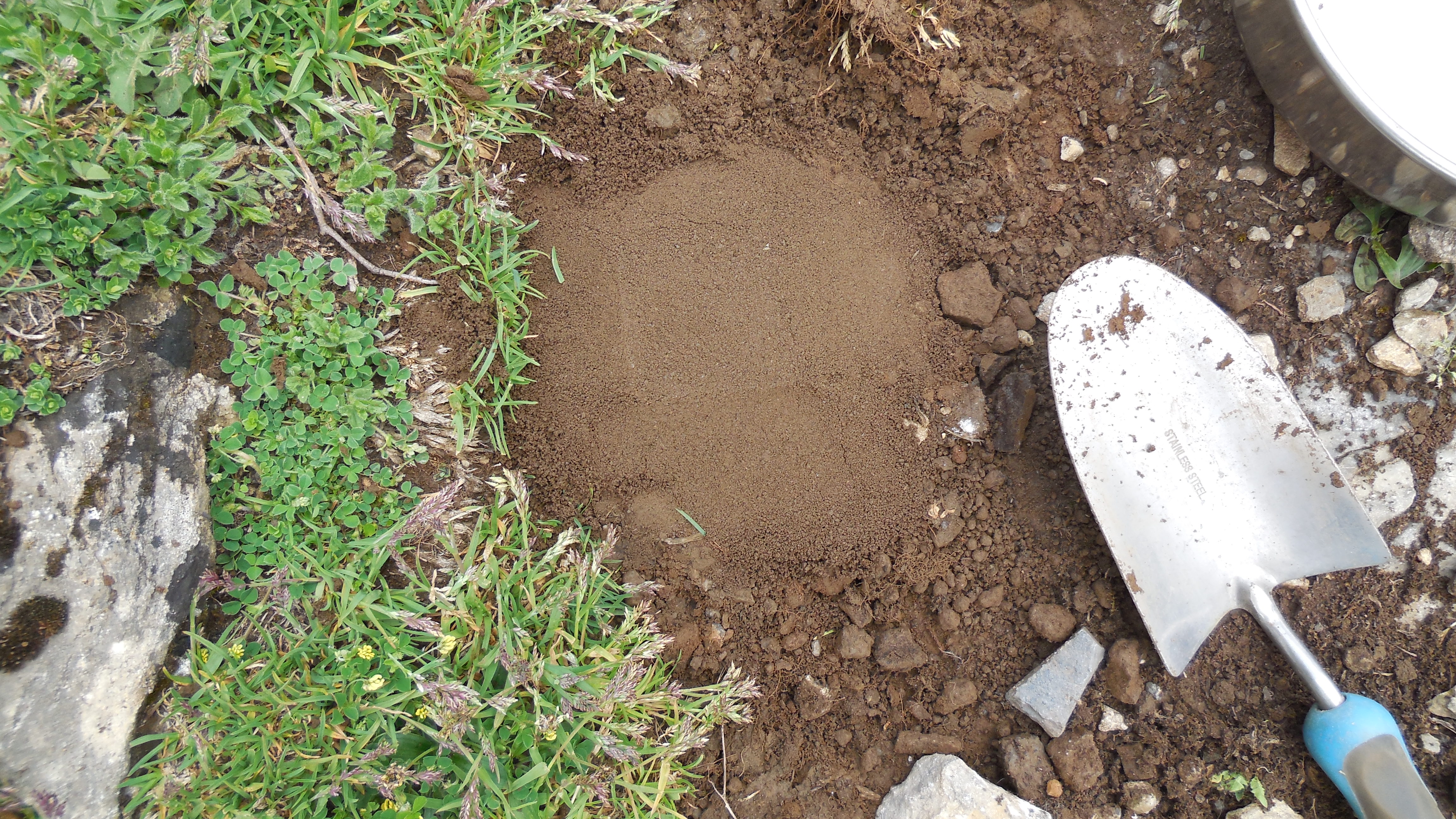
- Soil preparation (homogenisation and removal of particles larger than 2 mm) for portable X-ray fluorescence measurement. (Photo: Pascal Auger)